Project Edition
Uriel & Asociados has taken an active part in Geological-Geotechnical and material reuse study edition for several civil engineering projects all over Spain. ESTEYCO, SESTRA, AYESA or INGECONSULT are some of our regular clients.
|
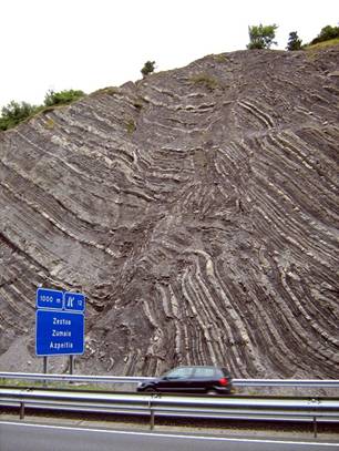 |
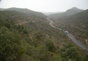
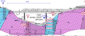
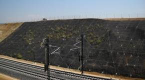
Construction project for the extension to 6 lanes of Highway A-8 between Zumaia and Zarautz Client: SESTRA The route studied had an approximate length of 10.5 km and it had several nearly 50 m high cuts. Some of the existent structures were modified and so was Meagas tunnel. A new tunnel was constructed (Bedua’s tunnel). The most relevant aspects of this report were to define the slope stability and the tunnel extension and construction.
|
||
|
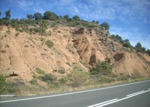
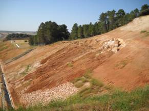
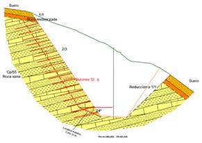
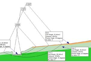
Construction Project for Highway A-14 between Lérida and the French border. Geology and Geotechnics of the route. Section: Benabarre (East)-Viacamp Client: ESTEYCO The route length was approximately 12 km and had an important number of cuts and embankments due to the rough topography of the area. The most relevant aspects of this report were the embankment and cut design (due to their height they were built using gentle slopes) Due to the appearance of slope instabilities in the natural ground due to the colluviums, the slope stability of the area was studied in detail.
|
||
|
|
||
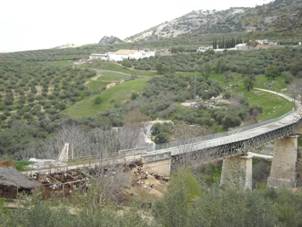  |
Basic construction project for the Olivar Highway. Section: Doña Mencía – N-432 crossing (Luque) Client: AYESA The length of the studied section was approximately 12 km and it was located in Cordoba. The aforementioned section contained embankments and cuts of different heights, bridges, and cut-and-cover tunnels near Doña Mencía.
|
||
|
Tender project of Jucar’s Highway. Section I: Cuenca – Road N-III Connection, Subsection 1: Cuenca-KP 20+400 Client: Grupo de constructoras The length of the studied route was approximately 20.4 km and it contained several cuts and embankments of different height, 2 bridges, 7 overpasses and 9 underpasses.
|
||
|
Design project of Road N-629 between Burgos and Santander. Section: Ramales de la Victoria Ringroad (K.P. 64.8 to 69.8). Santander. Client: INGECONSULT The length of the studied route was approximately 5 km and implied the construction of high embankments and cuts and even tunnels (tunnels were not investigated at this stage) due to the rough topography of the area. A study on the slope instabilities of the area was performed in order to avoid any potential risk.
|
| ........................................................................................................................................................................................................................................................ | ||||
| Uriel & Asociados | Activities |
Experience |
||
| Introduction | Geotechnical Studies | Large Urban Excavations | ||
| About us | Integrated Geotechnical Design | Complete Listing | ||
| International | Specialized Consulting | Road and Railway Works | ||
| Clients | Revisions for bid and execution construction projects | - Tunnels | ||
| Work Equipments | Project supervision | - Bridges | ||
| Contact | Project Edition | Special Buildings | ||
| Geotechnical support | Coastal Engineering | |||
| Courses lectured and papers published |
Execution control
|
Hydraulic Engineering | ||
| Construction pathology studies | ||||
